Map of the village as it was in 1799-1800
Donated by Dr Michael Honeybone
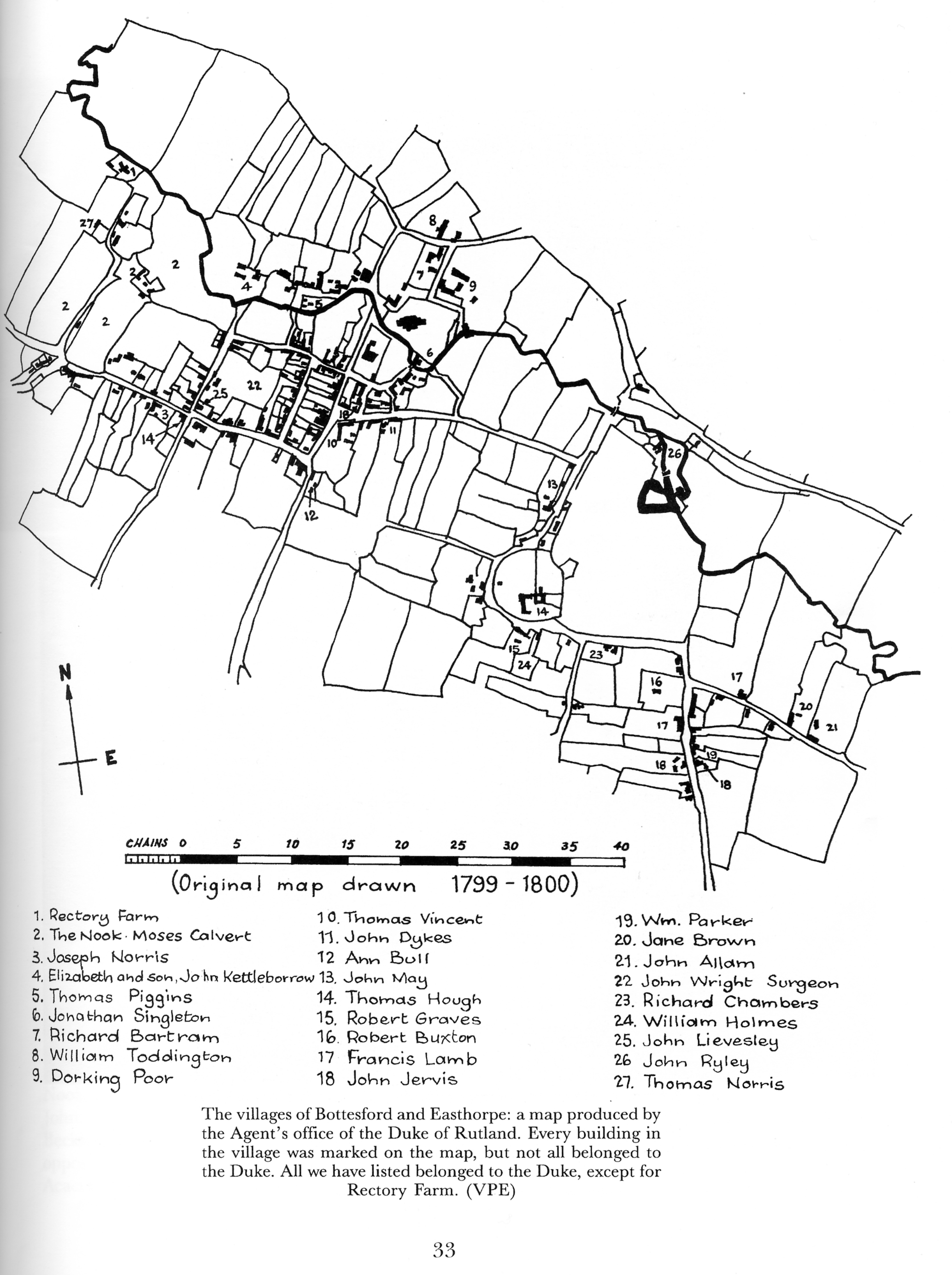
This is a sketch map of the village as it was c.1799-1800, with numbered houses and a key listing the corresponding house holders
Place
Bottesford Contributor
Donated to Local History Society by Dr Michael Honeybone Reference number
BOT/046/014 Storage location
Digital copy of original photograph held by Bottesford Community Heritage Project 
No Comments
Add a comment about this page